Search
Now showing items 1-10 of 12

The Development of a Coordinated Database for Water Resources and Flow Model in the Paso Del Norte Watershed (Phase III) Part II Availability of Flow and Water Quality Data for the Rio Grande Project Area
(Texas Water Resources Institute, 2009)
This report fulfills the deliverables required by the cooperative agreement between the U.S.
Army Corps of Engineers and Texas AgriLife Research (TAES/03-PL-02: Modification No.
3) on behalf of the Paso del Norte Watershed ...
The Development of a Coordinated Database for Water Resources and Flow Model in the Paso Del Norte Watershed (Phase III) Part I Lower Rio Grande Flood Control Model [LRGFCM] RiverWare Model Development
(Texas Water Resources Institute, 2009)
This report fulfills the deliverables required by the cooperative agreement between the U.S.
Army Corps of Engineers and Texas AgriLife Research (TAES/03-PL-02: Modification No.
3) on behalf of the Paso del Norte Watershed ...
Bosque River Environmental Infrastructure Improvement Plan: Phase II BMP Modeling Report
(Texas Water Resources Institute, 2008-03)
The Bosque River Watershed is located in the Brazos River Basin in central Texas and is facing a suite of water quality issues resulting in sediment, nutrient and bacteria loading. These loadings are potentially derived ...
Bosque River Environmental Infrastructure Improvement Plan: Phase I Final Report
(Texas Water Resources Institute, 2008-04)
The Bosque River and its associated watershed face a myriad of water quality challenges. Previous attempts made to address these concerns have met with limited success due to a relatively narrow, specific problem approach. ...
Bacteria Total Maximum Daily Load Task Force Final Report
(Texas Water Resources Institute, 2009-01)
In September 2006, the Texas Commission on Environmental Quality (TCEQ) and Texas State Soil and Water Conservation Board (TSSWCB) charged a seven-person Bacteria Total Maximum Daily Load (TMDL) Task Force with:
* ...
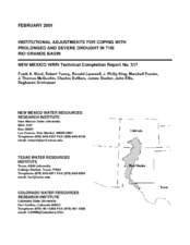
Institutional Adjustments for Coping with Prolonged and Severe Drought in the Rio Grande Basin
(Texas Water Resources Institute, 2001-02)
The Rio Grande originates in the southern Colorado Rocky Mountains, flows through New Mexico, and forms the border between the U.S. and Mexico on its way to the Gulf of Mexico. Serving over one-million acres of irrigated ...
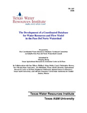
The Development of a Coordinated Database for Water Resources and Flow Model in the Paso Del Norte Watershed
(Texas Water Resources Institute, 2006-12)
This report fulfills the deliverables required by the cooperative agreement between the U.S.
Army Corps of Engineers and Texas Agricultural Experiment Station (TAES/03-PL-02:
Modification No. 2) on behalf of the Paso del ...
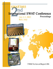
SWAT 2003: 2nd International SWAT Conference Proceedings
(Texas Water Resources Institute, 2003-07)
This book of proceedings presents papers that were given at the 2nd International SWAT Conference, SWAT 2003, that convened in 2003 in Bari, Italy. The focus of this conference was to allow an international community of ...
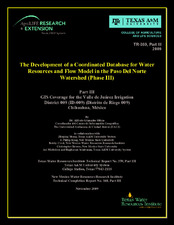
The Development of a Coordinated Database for Water Resources and Flow Model in the Paso Del Norte Watershed (Phase III) Part III GIS Coverage for the Valle de Juárez Irrigation District 009 (ID-009) (Distrito de Riego 009) Chihuahua, México
(Texas Water Resources Institute, 2009)
This report fulfills the deliverables required by the cooperative agreement between the
U.S. Army Corps of Engineers and Texas Agricultural Experiment Station (TAES/03-PL-
02: Modification No. 3) on behalf of the Paso ...
Brush Management/Water Yield Feasibility Study for Four Watersheds In Texas
(Texas Water Resources Institute, 2003)
The Soil and Water Assessment Tool (SWAT) model was used to simulate the
effects of brush removal on water yield in four watersheds in Texas for 1960 through 1999.
Methods used in this study were similar to methods used ...