Search
Now showing items 1-4 of 4
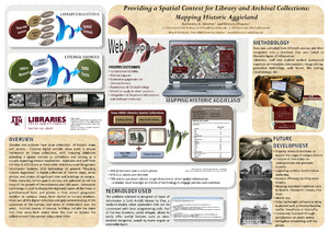
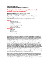
Providing a Spatial Context for Library and Archival Collections: Mapping Historic Aggieland
(2014-05-17)
Libraries and archives have large collections of historic maps and photos. Creative digital exhibits allow users a unique framework to these collections, with mapping platforms providing a spatial context to collections ...

The Founding of ALA's Map and Geography Round Table : Looking Back to See the Future
(ALA MAGIRT, 2011)
In 1979, a group of map librarians founded the American Library Association’s Map and Geography Round Table (MAGERT). An examination of the organization’s creation and early history offers a glimpse into the state of map ...
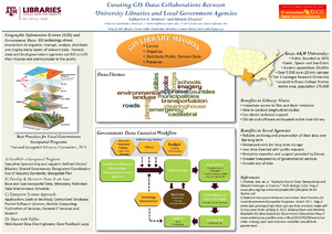
Curating GIS Data: Collaborations Between University Libraries and Local Government Agencies
(9th International Data Curation Conference, 2014-02-25)