| dc.coverage.spatial | Colorado | en |
| dc.creator | Emmons, Samuel Franklin, 1841-1911. | |
| dc.date.accessioned | 2006-04-13T18:19:49Z | |
| dc.date.accessioned | 2012-06-02T01:14:17Z | |
| dc.date.available | 2006-04-13T18:19:49Z | |
| dc.date.available | 2012-06-02T01:14:17Z | |
| dc.date.issued | 1898 | |
| dc.identifier.govdoc | I19.5/1:48 | |
| dc.identifier.uri | https://hdl.handle.net/1969.1/3361 | |
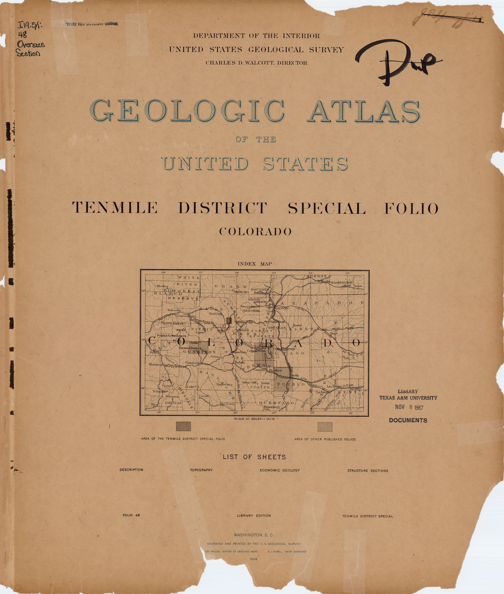
| dc.description | Tenmile district special folio, Colorado | en |
| dc.format.extent | 107129600 bytes | en |
| dc.format.extent | 107805824 bytes | en |
| dc.format.extent | 107624768 bytes | en |
| dc.format.extent | 107286272 bytes | en |
| dc.format.extent | 108094208 bytes | en |
| dc.format.extent | 107468288 bytes | en |
| dc.format.extent | 107730944 bytes | en |
| dc.format.extent | 66631300 bytes | en |
| dc.format.extent | 107781248 bytes | en |
| dc.format.extent | 106112960 bytes | en |
| dc.format.extent | 107805824 bytes | en |
| dc.format.extent | 107986112 bytes | en |
| dc.format.extent | 108539648 bytes | en |
| dc.format.extent | 108961664 bytes | en |
| dc.format.mimetype | image/tiff | |
| dc.format.mimetype | image/tiff | |
| dc.format.mimetype | image/tiff | |
| dc.format.mimetype | image/tiff | |
| dc.format.mimetype | image/tiff | |
| dc.format.mimetype | image/tiff | |
| dc.format.mimetype | image/tiff | |
| dc.format.mimetype | image/tiff | |
| dc.format.mimetype | image/tiff | |
| dc.format.mimetype | image/tiff | |
| dc.format.mimetype | image/tiff | |
| dc.format.mimetype | image/tiff | |
| dc.format.mimetype | application/pdf | |
| dc.format.mimetype | image/tiff | |
| dc.language.iso | en_US | |
| dc.publisher | Geological Survey (United States) | |
| dc.relation.ispartofseries | 48 | |
| dc.relation.ispartofseries | Geologic Atlas of the United States | |
| dc.rights | No copyright; for more information see: https://rightsstatements.org/page/NoC-US/1.0/ | en |
| dc.rights.uri | https://rightsstatements.org/page/NoC-US/1.0/ | |
| dc.subject | Archean - unnamed strata | en |
| dc.subject | Age/Period unspecified - Lincoln porphyry; Elk Mountain porphyry; Quail porphyry | en |
| dc.subject | Jurassic - Wyoming formation | en |
| dc.subject | Cambrian - Sawatch quartzite | en |
| dc.subject | Triassic - Wyoming formation | en |
| dc.subject | Carboniferous - Maroon formation; Weber formation | en |
| dc.subject | Neogene - unnamed strata | en |
| dc.subject.lcsh | Geology -- United States --Maps | en |
| dc.subject.lcsh | Geology--Colorado--Eagle County--Maps | en |
| dc.subject.lcsh | Geology--Colorado--Summit County--Maps | en |
| dc.title | Tenmile district special folio, Colorado | en |
| dc.type | Map | en |
| dc.type | Image | en |
| dc.type | Book | en |
| dc.coverage.box | northlimit=39.51; westlimit=-106.27; southlimit=39.38; eastlimit=-106.13 | en |
| dc.coverage.point | 39:22:57N106:08:00W | en |