| dc.coverage.spatial | Virginia | en |
| dc.coverage.spatial | West Virginia | en |
| dc.creator | Campbell, Marius R. (Marius Robinson), 1858-1940. | |
| dc.date.accessioned | 2006-04-13T15:33:50Z | |
| dc.date.accessioned | 2012-06-01T21:29:03Z | |
| dc.date.available | 2006-04-13T15:33:50Z | |
| dc.date.available | 2012-06-01T21:29:03Z | |
| dc.date.issued | 1897 | |
| dc.identifier.govdoc | I19.5/1:44 | |
| dc.identifier.uri | https://hdl.handle.net/1969.1/3358 | |
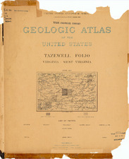
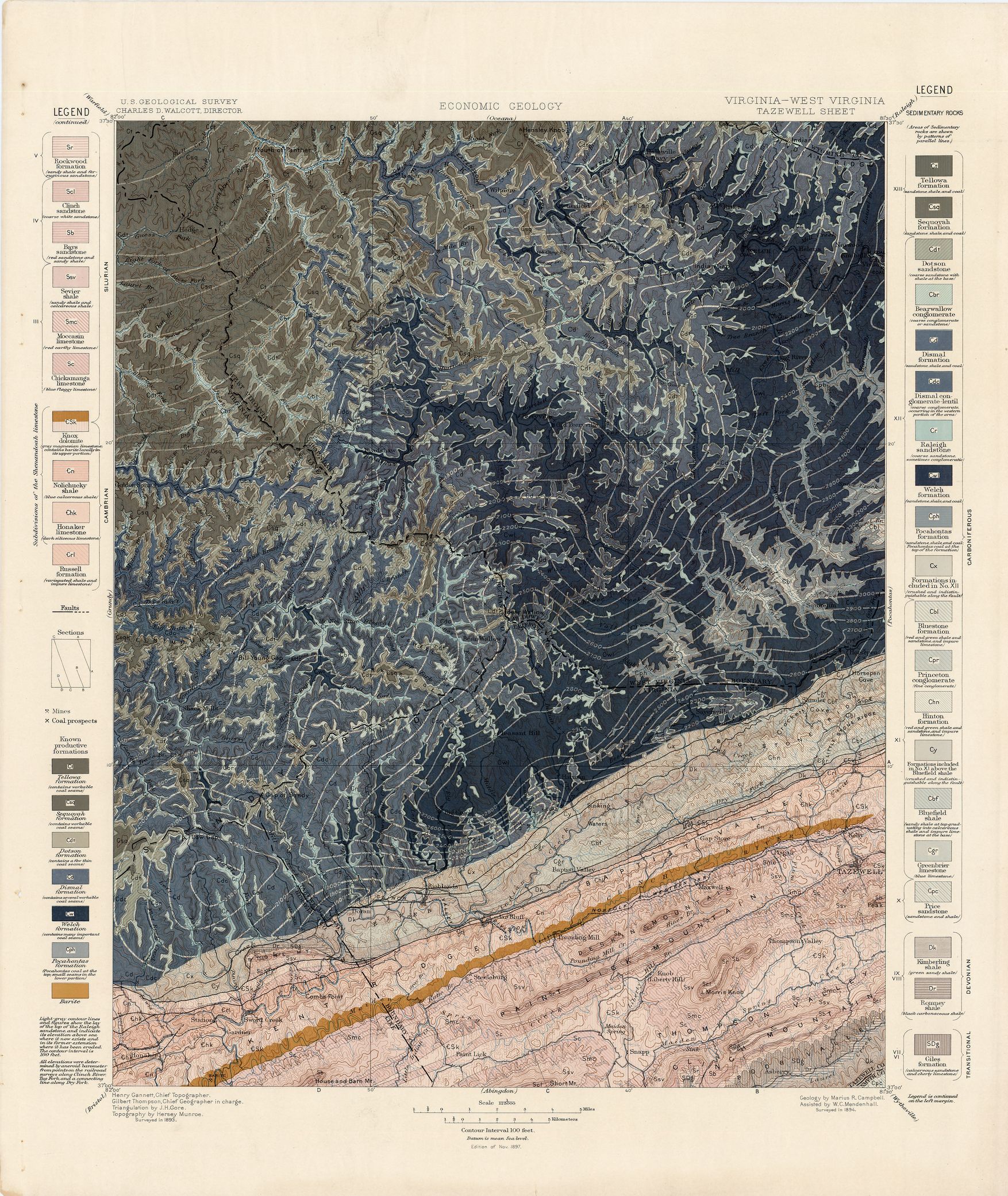
| dc.description | Tazewell folio, Virginia-West Virginia | en |
| dc.format.extent | 107049536 bytes | en |
| dc.format.extent | 107361728 bytes | en |
| dc.format.extent | 103927616 bytes | en |
| dc.format.extent | 107155328 bytes | en |
| dc.format.extent | 106918400 bytes | en |
| dc.format.extent | 106842368 bytes | en |
| dc.format.extent | 107410112 bytes | en |
| dc.format.extent | 106893440 bytes | en |
| dc.format.extent | 106529408 bytes | en |
| dc.format.extent | 104622848 bytes | en |
| dc.format.extent | 106606592 bytes | en |
| dc.format.extent | 106762496 bytes | en |
| dc.format.extent | 107336960 bytes | en |
| dc.format.extent | 76527883 bytes | en |
| dc.format.extent | 106967168 bytes | en |
| dc.format.mimetype | image/tiff | |
| dc.format.mimetype | image/tiff | |
| dc.format.mimetype | image/tiff | |
| dc.format.mimetype | image/tiff | |
| dc.format.mimetype | image/tiff | |
| dc.format.mimetype | image/tiff | |
| dc.format.mimetype | image/tiff | |
| dc.format.mimetype | image/tiff | |
| dc.format.mimetype | image/tiff | |
| dc.format.mimetype | image/tiff | |
| dc.format.mimetype | image/tiff | |
| dc.format.mimetype | image/tiff | |
| dc.format.mimetype | image/tiff | |
| dc.format.mimetype | image/tiff | |
| dc.format.mimetype | application/pdf | |
| dc.language.iso | en_US | |
| dc.publisher | Geological Survey (United States) | |
| dc.relation.ispartofseries | Geologic Atlas of the United States | |
| dc.relation.ispartofseries | 44 | |
| dc.rights | No copyright; for more information see: https://rightsstatements.org/page/NoC-US/1.0/ | en |
| dc.rights.uri | https://rightsstatements.org/page/NoC-US/1.0/ | |
| dc.subject | Silurian - Rockwood formation; Clinch sandstone; Bays sandstone; Sevier sandstone; Moccasin limestone; Chickamauga limestone; Knox dolomite | en |
| dc.subject | Cambrian - Knox dolomite; Nolichucky shale; Honaker limestone; Russell formation | en |
| dc.subject | Carboniferous - Tellowa formation; Sequoyah formation; Dotson sandstone; Bearwallow conglomerate; Dismal formation; Dismal conglomerate-lentil; Raleigh sandstone; Welch formation; Pocahontas formation; Bluestone formation; Princetone conglomerate; Hinton formtion; Bluefield shale; Greenbrier limestone; Price sandstone | en |
| dc.subject | Devonian - Kimberling shale; Romney shale | en |
| dc.subject | Transitional - Giles formation | en |
| dc.subject.lcsh | Geology--West Virginia--Maps | en |
| dc.subject.lcsh | Geology--Virginia--Maps | en |
| dc.subject.lcsh | Geology -- United States --Maps | en |
| dc.title | Tazewell folio, Virginia-West Virginia | en |
| dc.type | Book | en |
| dc.type | Map | en |
| dc.type | Image | en |
| dc.coverage.box | northlimit=37.5; westlimit=-82; southlimit=37; eastlimit=-81.5 | en |
| dc.coverage.point | 37:30:00N82:00:00W | en |