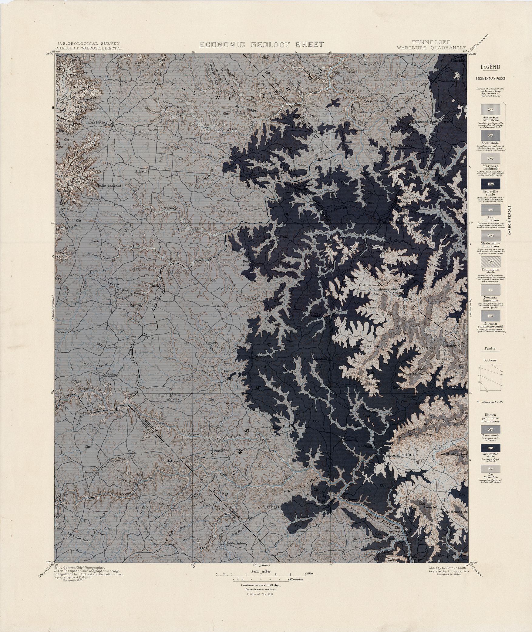
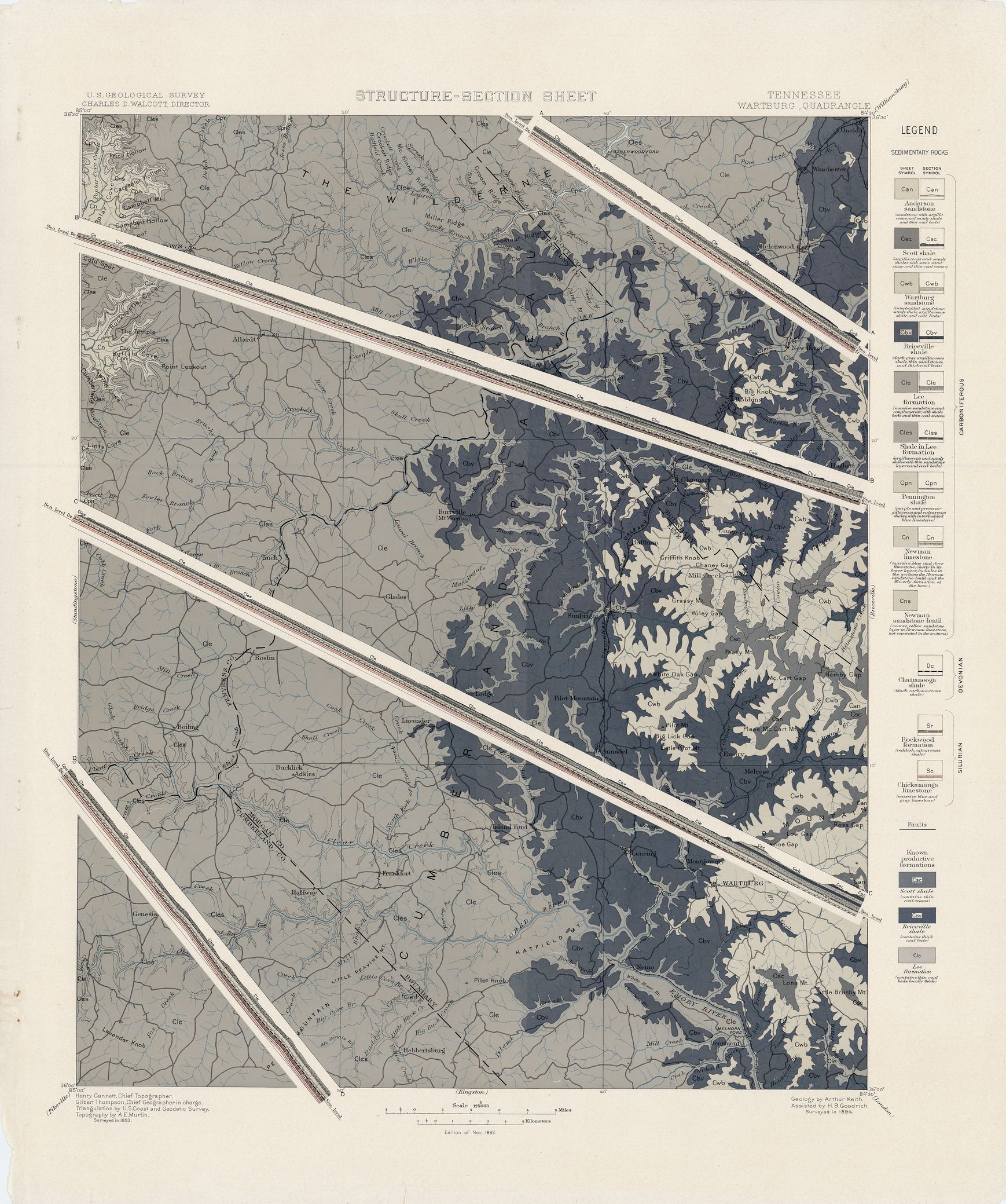
| dc.coverage.spatial | Tennessee | en |
| dc.creator | Keith, Arthur. | |
| dc.date.accessioned | 2006-04-11T15:26:38Z | |
| dc.date.accessioned | 2012-06-02T01:24:51Z | |
| dc.date.available | 2006-04-11T15:26:38Z | |
| dc.date.available | 2012-06-02T01:24:51Z | |
| dc.date.issued | 1897 | |
| dc.identifier.govdoc | I19.5/1:40 | |
| dc.identifier.uri | https://hdl.handle.net/1969.1/3039 | |
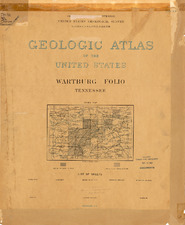
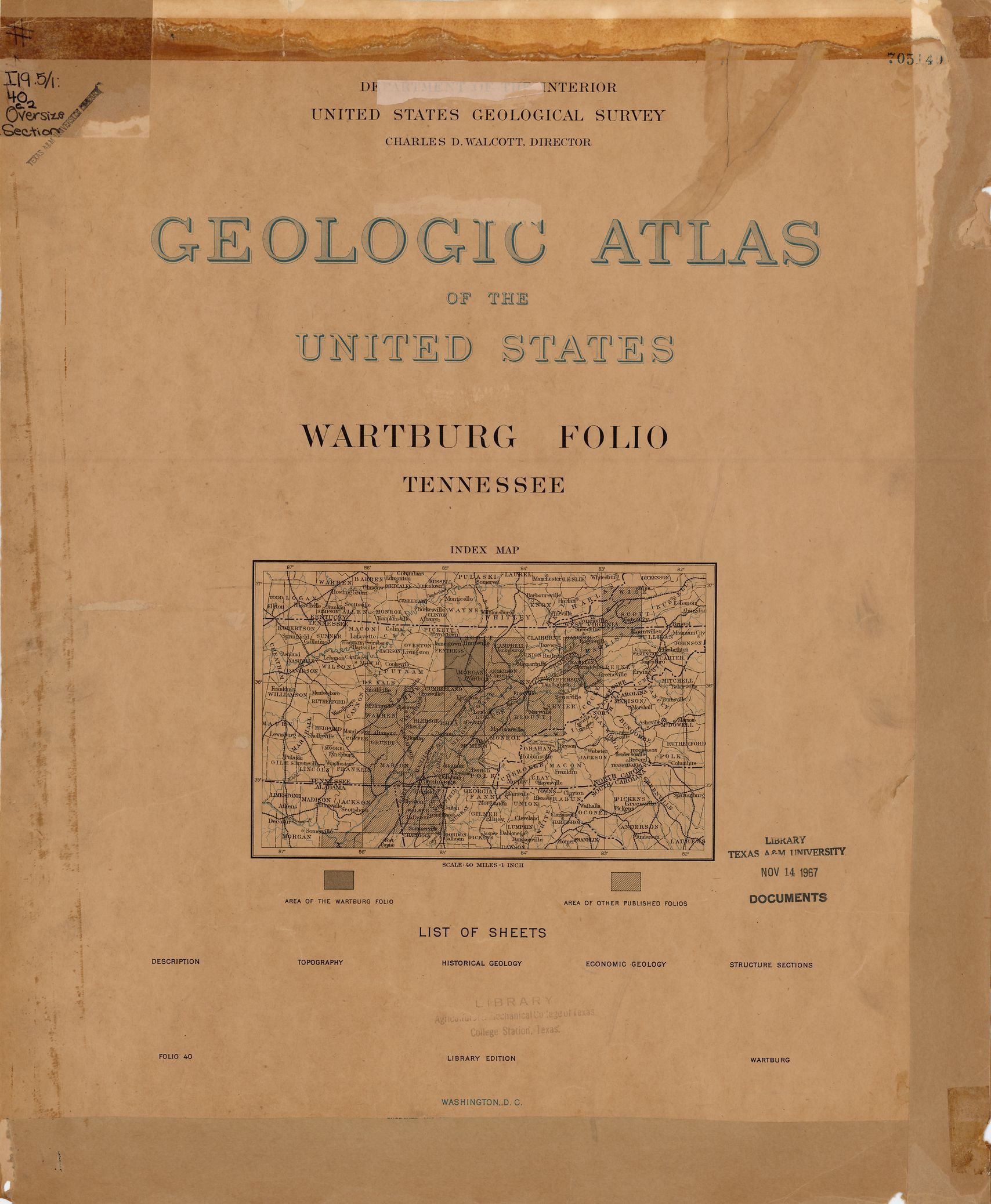
| dc.description | Wartburg folio, Tennessee | en |
| dc.format.extent | 107180672 bytes | en |
| dc.format.extent | 107336960 bytes | en |
| dc.format.extent | 107074304 bytes | en |
| dc.format.extent | 107230208 bytes | en |
| dc.format.extent | 107049536 bytes | en |
| dc.format.extent | 60122718 bytes | en |
| dc.format.extent | 107493248 bytes | en |
| dc.format.extent | 107493248 bytes | en |
| dc.format.extent | 102678848 bytes | en |
| dc.format.extent | 104295872 bytes | en |
| dc.format.extent | 106294784 bytes | en |
| dc.format.extent | 108009728 bytes | en |
| dc.format.mimetype | image/tiff | |
| dc.format.mimetype | image/tiff | |
| dc.format.mimetype | image/tiff | |
| dc.format.mimetype | image/tiff | |
| dc.format.mimetype | image/tiff | |
| dc.format.mimetype | image/tiff | |
| dc.format.mimetype | image/tiff | |
| dc.format.mimetype | image/tiff | |
| dc.format.mimetype | image/tiff | |
| dc.format.mimetype | image/tiff | |
| dc.format.mimetype | image/tiff | |
| dc.format.mimetype | application/pdf | |
| dc.language.iso | en_US | |
| dc.publisher | Geological Survey (United States) | |
| dc.relation.ispartofseries | 40 | |
| dc.relation.ispartofseries | Geologic Atlas of the United States | |
| dc.rights | No copyright; for more information see: https://rightsstatements.org/page/NoC-US/1.0/ | en |
| dc.rights.uri | https://rightsstatements.org/page/NoC-US/1.0/ | |
| dc.subject | Carboniferous - Anderson sandstone; Scott shale; Wartburg sandstone; Briceville shale; Lee formation; Penningon shale; Newman limestone; Newman sandstone-lentil | en |
| dc.subject.lcsh | Geology--Tennessee--Maps | en |
| dc.subject.lcsh | Geology -- United States --Maps | en |
| dc.title | Wartburg folio, Tennessee | en |
| dc.type | Image | en |
| dc.type | Map | en |
| dc.type | Book | en |
| dc.coverage.box | northlimit=36.5; westlimit=-85; southlimit=36; eastlimit=-84.5 | en |
| dc.coverage.point | 36:00:00N84:30:00W | en |