Alcatraz Island, Scanning and Modeling: Procedural Report
Abstract
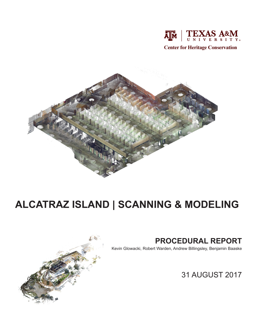
The Center for Heritage Conservation (CHC) from Texas A&M University (TAMU) conducted laser
scanning studies at Alcatraz Island from 2011 to 2016. Survey consisted of two techniques: total station
survey and 3D laser scanning. The survey produced raw scan data, which was processed into a 3D
point cloud. From the point cloud, E57 and ASCII formats of the laser scans were exported. This point
cloud data was then used to modify an existing Revit model into a more accurate preliminary BIM
model, from which a BIM-ready model can be built.
Department
ArchitectureCollections
Citation
(2022). Alcatraz Island, Scanning and Modeling: Procedural Report. Available electronically from https : / /hdl .handle .net /1969 .1 /196893.
The following license files are associated with this item:

Except where otherwise noted, this item's
license is described as
Attribution-NonCommercial-NoDerivatives 4.0 International