| dc.coverage.spatial | Kansas | en |
| dc.creator | Schrader, Frank Charles, 1860-1944. | |
| dc.date.accessioned | 2006-06-06T15:04:02Z | |
| dc.date.accessioned | 2012-06-02T03:53:11Z | |
| dc.date.available | 2006-06-06T15:04:02Z | |
| dc.date.available | 2012-06-02T03:53:11Z | |
| dc.date.issued | 1908 | |
| dc.identifier.govdoc | I19.5/1:159 | |
| dc.identifier.uri | https://hdl.handle.net/1969.1/3572 | |
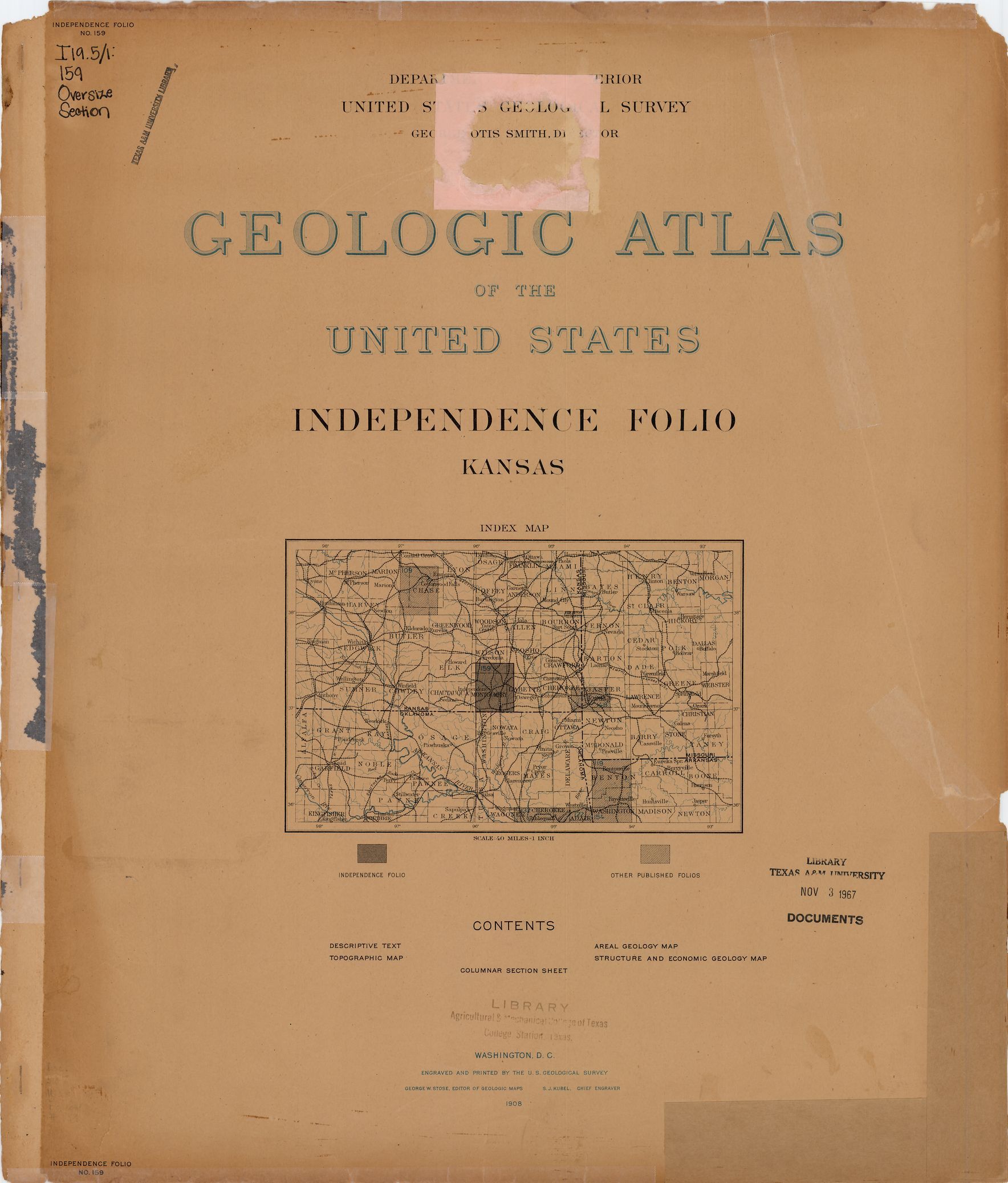
| dc.description | Independence folio, Kansas | en |
| dc.format.extent | 81659763 bytes | en |
| dc.format.extent | 107660204 bytes | en |
| dc.format.extent | 107139698 bytes | en |
| dc.format.extent | 107090612 bytes | en |
| dc.format.extent | 107090612 bytes | en |
| dc.format.extent | 107612576 bytes | en |
| dc.format.extent | 107090612 bytes | en |
| dc.format.extent | 107563004 bytes | en |
| dc.format.extent | 107462888 bytes | en |
| dc.format.extent | 107388530 bytes | en |
| dc.format.extent | 107065340 bytes | en |
| dc.format.extent | 107911952 bytes | en |
| dc.format.extent | 107861408 bytes | en |
| dc.format.extent | 107115398 bytes | en |
| dc.format.extent | 107588033 bytes | en |
| dc.format.extent | 107090612 bytes | en |
| dc.format.extent | 107289143 bytes | en |
| dc.format.mimetype | application/pdf | |
| dc.format.mimetype | image/tiff | |
| dc.format.mimetype | image/tiff | |
| dc.format.mimetype | image/tiff | |
| dc.format.mimetype | image/tiff | |
| dc.format.mimetype | image/tiff | |
| dc.format.mimetype | image/tiff | |
| dc.format.mimetype | image/tiff | |
| dc.format.mimetype | image/tiff | |
| dc.format.mimetype | image/tiff | |
| dc.format.mimetype | image/tiff | |
| dc.format.mimetype | image/tiff | |
| dc.format.mimetype | image/tiff | |
| dc.format.mimetype | image/tiff | |
| dc.format.mimetype | image/tiff | |
| dc.format.mimetype | image/tiff | |
| dc.format.mimetype | image/tiff | |
| dc.language.iso | en_US | |
| dc.publisher | Geological Survey (United States) | |
| dc.relation.ispartofseries | 159 | |
| dc.relation.ispartofseries | Geologic Atlas of the United States | |
| dc.rights | No copyright; for more information see: https://rightsstatements.org/page/NoC-US/1.0/ | en |
| dc.rights.uri | https://rightsstatements.org/page/NoC-US/1.0/ | |
| dc.subject | Carboniferous - Elgin sandstone; Oread limestone; Buxton formation; Wilson formation; Drum limestone; Coffeyville formation; Parsons formation | en |
| dc.subject | Neogene - unnamed strata | en |
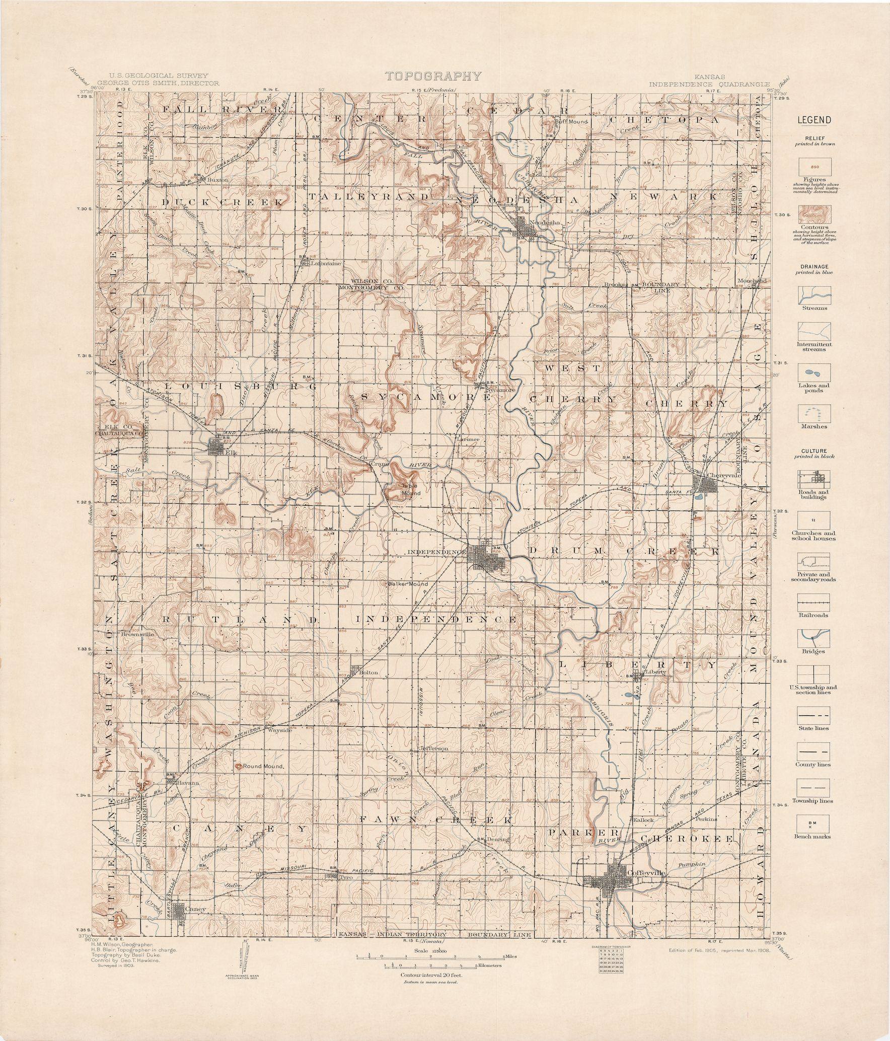
| dc.subject.lcsh | Geology--Kansas--Maps | en |
| dc.subject.lcsh | Geology -- United States --Maps | en |
| dc.title | Independence folio, Kansas | en |
| dc.type | Map | en |
| dc.type | Image | en |
| dc.type | Book | en |
| dc.coverage.box | northlimit=37.5; westlimit=-96; southlimit=37; eastlimit=-95.5 | en |
| dc.coverage.point | 37:00:00N95:30:00W | en |